
Suburb profile
Bilinga QLD 4225
Bilinga is located in the Gold Coast region of Queensland, postcode 4225. It has 2,028 properties across 22 streets, mostly units. Explore every street in Bilinga, its property history, homes for sale and rent, who lives there, and the local agents.
About Bilinga
Bilinga, QLD 4225, sits in the Gold Coast region and neighbours Coolangatta and Tugun. Its 22 streets hold 2,028 properties, 495 of them houses and 1,533 units.
Census figures are for the Currumbin - Tugun area, which has 12,339 residents, a median age of 41 and an average household of 2.3 people. Median household income is $1,696 a week, the median mortgage repayment $1,950 a month and the median rent $455 a week. Of 4,817 dwellings, 2,032 were separate houses, 1,019 semi-detached, 1,743 flats and 9 other. Tenure was 1,482 owned outright, 1,624 owned with a mortgage and 1,591 rented.
Updated October 2026
Who lives in Bilinga
- 12,339Peoplelive in the area
- 41Median ageyears
- $1,696Median household incomea week
- $455Median renta week
Homes by type
- Houses2,032
- Townhouses and semis1,019
- Flats and apartments1,743
- Other9
Household
- Median mortgage repayment$1,950a month
- Household size2.3people on average
How homes are held
For sale and rent in Bilinga

 James Massey

Offers over $1,799,000 | Closing 2nd November
2/197 Golden Four Drive, Bilinga QLD

 Lara McCallum
OFFERS OVER $2,195,000
17/146 Pacific Parade, Bilinga QLD
Inspect Thu, 29 Oct 5:00pm

 Erin King

Contact Agent
6 / 2 Graham Street, Bilinga QLD 4225

Properties in Bilinga

2/197 Golden Four Drive
For sale since Oct 2026 · Offers over $1,799,000 | Closing 2nd November
3 bedrooms 4 bathrooms 2 car spaces

17/146 Pacific Parade
For sale since Oct 2026 · OFFERS OVER $2,195,000
3 bedrooms 2 bathrooms 2 car spaces

20/143 Golden Four Drive
Sold Sept 2026 · $1,070,000
2 bedrooms 2 bathrooms 2 car spaces

5/111-113 Golden Four Drive
For rent since Sept 2026 · $820 per week
2 bedrooms 2 bathrooms 2 car spaces

1/153 Golden Four Drive
Sold Sept 2026 · Contact agent
2 bedrooms 1 bathroom 1 car space

4/3 Johnston Street
Leased Sept 2026 · $1,290 per week
3 bedrooms 2 bathrooms 2 car spaces

3/52 Pacific Parade
Sold Aug 2026 · $1,009,000
2 bedrooms 1 bathroom 1 car space

13/261-263 Golden Four Drive
Leased Aug 2026 · $950 per week
3 bedrooms 2 bathrooms 1 car space
20/143 Golden Four Drive
Sold Sept 2026 · $1,070,000
2 bedrooms 2 bathrooms 2 car spaces
1/153 Golden Four Drive
Sold Sept 2026 · Contact agent
2 bedrooms 1 bathroom 1 car space
3/52 Pacific Parade
Sold Aug 2026 · $1,009,000
2 bedrooms 1 bathroom 1 car space

2/10 Pacific Parade
Sold May 2026 · Contact agent
3 bedrooms 2 bathrooms 2 car spaces

12/2 Graham Street
Sold May 2026 · $1,700,000
3 bedrooms 2 bathrooms 2 car spaces

4/69 Golden Four Drive
Sold Apr 2026 · Contact agent
2 bedrooms 1 bathroom 2 car spaces
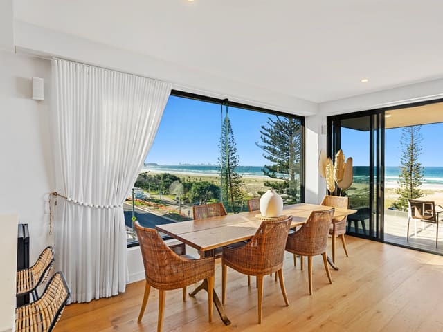
4/96 Pacific Parade
Sold Apr 2026 · Contact agent
3 bedrooms 3 bathrooms 2 car spaces

10/20 Pacific Parade
Sold Apr 2026 · $1,415,000
2 bedrooms 1 bathroom 1 car space
Local agents in Bilinga
Last 12 months
- Properties sold
- 11
- Median sold price
- $1.59m
- Median days on market
- 44

Josh Nunney
Junior Sales Associate to Jacqueline Chapman COASTAL° Palm Beach
Last 12 months
- Properties sold
- 18
- Median sold price
- $1.36m
- Median days on market
- 31

Rachael Sherriff
Sales Associate LJ Hooker Southern Gold Coast
Sales Associate LJ Hooker Coolangatta | Tweed
Last 12 months
- Properties sold
- 23
- Median sold price
- $1.45m
- Median days on market
- 49
Agencies that specialise in Bilinga
Streets in Bilinga
- Adina Avenue78 properties
- Archer Street39 properties
- Boyd Street8 properties
- Coolangatta Road118 properties
- Dulkarra Avenue2 properties
- Eastern Avenue66 properties
- George Street10 properties
- Gibson Street11 properties
- Golden Four Drive854 properties
- Graham Street31 properties
- John Street11 properties
- Johnston Street20 properties
- Kirribin Street2 properties
- Lang Street159 properties
- Lores Bonney Circuit12 properties
- Matters Street2 properties
- Mills Street1 property
- Pacific Parade569 properties
- Short Street2 properties
- Surf Street19 properties
- Terminal Drive13 properties
- Tom Norris Drive1 property
Neighbouring suburbs
Addresses and streets incorporate or were developed using G-NAF © Geoscape Australia, licensed by the Commonwealth of Australia under the Open Geo-coded National Address File (G-NAF) End User Licence Agreement.
Population and housing figures are drawn from the Australian Bureau of Statistics, Census of Population and Housing 2021, licensed under Creative Commons Attribution 4.0 International.
Area summaries are generated from the national address file and ABS Census data, and checked against those figures before publication.