
Suburb profile
Bexley North NSW 2207
Bexley North is located in the Inner South West region of New South Wales, postcode 2207. It has 1,982 properties across 38 streets, mostly houses. Explore every street in Bexley North, its property history, homes for sale and rent, who lives there, and the local agents.
About Bexley North
Bexley North, NSW 2207, sits in the Inner South West region and neighbours Earlwood, Bardwell Park, Bardwell Valley and Bexley. Its 38 streets hold 1,982 properties, 1,486 of them houses and 496 units.
Census figures are for Kingsgrove (South) - Bardwell Park, which has 12,973 residents, a median age of 42 and an average household of 2.8 people. Median household income is $2,027 a week, the median mortgage repayment $2,700 a month and the median rent $500 a week. Of 4,458 dwellings, 3,552 are separate houses, 401 semi-detached, 418 flats and 71 other; 1,838 are owned outright, 1,297 owned with a mortgage and 1,192 rented.
Updated October 2026
Who lives in Bexley North
- 12,973Peoplelive in the area
- 42Median ageyears
- $2,027Median household incomea week
- $500Median renta week
Homes by type
- Houses3,552
- Townhouses and semis401
- Flats and apartments418
- Other71
Household
- Median mortgage repayment$2,700a month
- Household size2.8people on average
How homes are held
For sale and rent in Bexley North
 Callum Norris

For Sale
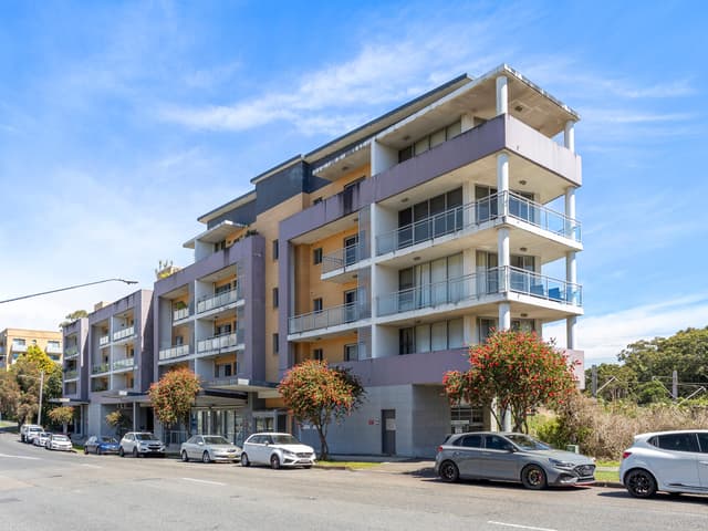
11/234 Slade Road, Bexley North NSW 2207
Inspect Sat, 31 Oct 11:30am
Properties in Bexley North

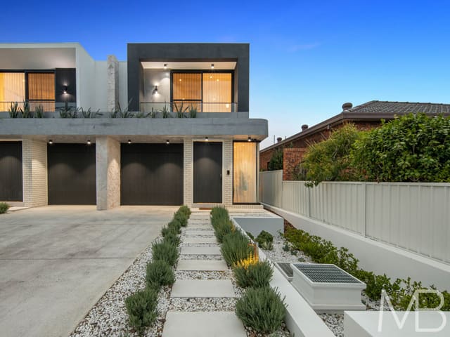

Local agents in Bexley North


Evan Kuixiao Wei
Director McConnell Bourn
Last 12 months
- Properties sold
- 9
- Median sold price
- $2.15m
- Median days on market
- 26

Cathy Yuan Tian
Partner | Senior Sales Executive McConnell Bourn Sydney
Last 12 months
- Properties sold
- 41
- Median sold price
- $945k
- Median days on market
- 51
- CA
Charlize Airoldi
Leasing Consultant Pulse Property Agents
Agencies that specialise in Bexley North
Streets in Bexley North
- Alston Street44 properties
- Astron Crescent6 properties
- Barnsbury Grove66 properties
- Benjamin Street31 properties
- Bexley Road117 properties
- Canonbury Grove145 properties
- Carrisbrook Avenue22 properties
- Carson Crescent43 properties
- Coveney Street88 properties
- Demaine Avenue51 properties
- East Drive15 properties
- Edward Street48 properties
- Ellerslie Road51 properties
- Fortescue Street57 properties
- Fowler Avenue17 properties
- Handley Avenue29 properties
- Heath Street22 properties
- Homedale Avenue11 properties
- Irwin Crescent23 properties
- Kingsland Road113 properties
- Laycock Street104 properties
- Lynesta Avenue50 properties
- Macdonald Crescent49 properties
- Mainerd Avenue22 properties
- Midelton Avenue8 properties
- Miller Avenue38 properties
- New Illawarra Road142 properties
- Oliver Street80 properties
- Orpington Street14 properties
- Park Street10 properties
- Preddys Lane1 property
- Preddys Road46 properties
- Sarsfield Circuit114 properties
- Shaw Street125 properties
- Slade Road106 properties
- St Kilda Street39 properties
- Tomkins Street19 properties
- West Drive16 properties
Neighbouring suburbs
Addresses and streets incorporate or were developed using G-NAF © Geoscape Australia, licensed by the Commonwealth of Australia under the Open Geo-coded National Address File (G-NAF) End User Licence Agreement.
Population and housing figures are drawn from the Australian Bureau of Statistics, Census of Population and Housing 2021, licensed under Creative Commons Attribution 4.0 International.
Area summaries are generated from the national address file and ABS Census data, and checked against those figures before publication.