
Suburb profile
Waramanga ACT 2611
Waramanga is located in the Canberra region of the Australian Capital Territory, postcode 2611. It has 1,339 properties across 35 streets, mostly houses. Explore every street in Waramanga, its property history, homes for sale and rent, who lives there, and the local agents.
About Waramanga
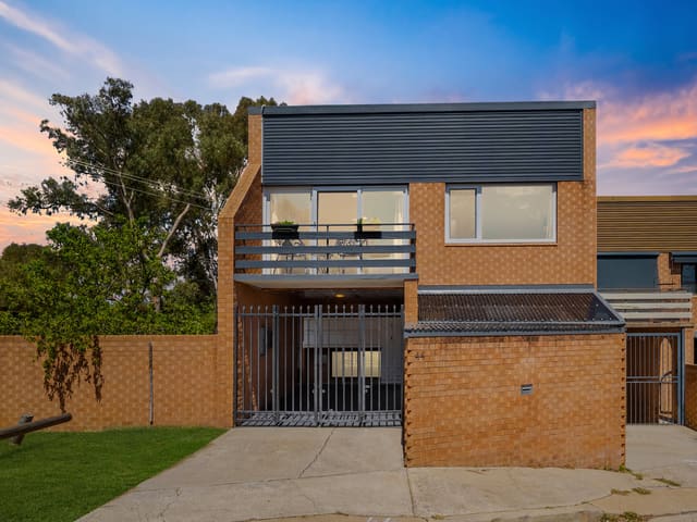
Waramanga, ACT 2611, sits in Canberra and neighbours Chifley, Fisher, Lyons and Weston. Its 35 streets hold 1,339 properties, 1,028 of them houses and 311 units.
At the Census Waramanga had 2,785 residents, a median age of 38 and an average household of 2.5 people. Median household income was $2,247 a week, the median mortgage repayment $2,175 a month and the median rent $379 a week. Of 1,073 dwellings, 829 were separate houses, 210 semi-detached, 28 flats and 4 other; 345 were owned outright, 408 owned with a mortgage and 295 rented.
Updated October 2026
Who lives in Waramanga
- 2,785Peoplelive in the area
- 38Median ageyears
- $2,247Median household incomea week
- $379Median renta week
Homes by type
- Houses829
- Townhouses and semis210
- Flats and apartments28
- Other4
Household
- Median mortgage repayment$2,175a month
- Household size2.5people on average
How homes are held
Properties in Waramanga


Schools in Waramanga
Arawang Primary School
GovernmentPrimary
St John Vianney's Primary School
CatholicPrimary
Mount Stromlo High School
GovernmentSecondary
Local agents in Waramanga

Last 12 months
- Property sold
- 1
- Median sold price
- $920k
- Median days on market
- 28
- AL
Aaron Lewis
Senior Sales Consultant & Auctioneer Suburbia Real Estate
Last 12 months
- Property sold
- 1
- Median sold price
- $920k
- Median days on market
- 28

Mark Larmer And Aaron Lewis
Licensed Agent, Auctioneer & Senior Sales Consultant Suburbia Real Estate
Last 12 months
- Properties sold
- 88
- Median sold price
- $750k
- Median days on market
- 28
Agencies that specialise in Waramanga
Streets in Waramanga
- Adinda Street60 properties
- Alawa Street53 properties
- Algan Street5 properties
- Alura Place10 properties
- Badimara Street68 properties
- Bidia Place6 properties
- Birbai Place11 properties
- Bolali Place11 properties
- Burara Crescent48 properties
- Dalabon Crescent30 properties
- Damala Street111 properties
- Gabi Place4 properties
- Galibal Street35 properties
- Gamor Street55 properties
- Garanya Street31 properties
- Goa Place6 properties
- Iora Place8 properties
- Larakia Street48 properties
- Malara Street41 properties
- Manu Place7 properties
- Mara Place7 properties
- Nagara Street20 properties
- Namatjira Drive11 properties
- Nanda Place13 properties
- Nangor Street63 properties
- Nemarang Crescent163 properties
- Tiwi Place20 properties
- Wambaya Crescent42 properties
- Waramanga Place54 properties
- Warrai Place13 properties
- Wirangu Place8 properties
- Woralul Street82 properties
- Yambina Crescent107 properties
- Yanda Street33 properties
- Yiman Street55 properties
Neighbouring suburbs
Addresses and streets incorporate or were developed using G-NAF © Geoscape Australia, licensed by the Commonwealth of Australia under the Open Geo-coded National Address File (G-NAF) End User Licence Agreement.
Population and housing figures are drawn from the Australian Bureau of Statistics, Census of Population and Housing 2021, licensed under Creative Commons Attribution 4.0 International.
School details © Australian Curriculum, Assessment and Reporting Authority (ACARA), from the Australian Schools List, licensed under Creative Commons Attribution 4.0 International and modified. ACARA does not endorse Listd.
Area summaries are generated from the national address file and ABS Census data, and checked against those figures before publication.