
Suburb profile
Sydney NSW 2000
Sydney is located in the Sydney City and Inner South region of New South Wales, postcode 2000. It has 44,059 properties across 106 streets, mostly units. Explore every street in Sydney, its property history, homes for sale and rent, who lives there, and the local agents.
About Sydney
Sydney, NSW 2000, sits in the Sydney City and Inner South region and neighbours Surry Hills, Darlinghurst, Haymarket and The Rocks. Its 106 streets hold 44,059 properties, 8,544 of them houses and 35,515 units.
Census figures are for Sydney (North) - Millers Point, an area covering part of the suburb. It had 8,004 residents, a median age of 37 and an average household of 1.8 people. Median household income was $2,457 a week, the median mortgage repayment $3,000 a month and the median rent $640 a week. Of 3,848 dwellings, 3,571 were flats, 222 semi-detached, 25 separate houses and 12 other; 720 were owned outright, 487 owned with a mortgage and 2,534 rented.
Updated October 2026
Who lives in Sydney
- 8,004Peoplelive in the area
- 37Median ageyears
- $2,457Median household incomea week
- $640Median renta week
Homes by type
- Houses25
- Townhouses and semis222
- Flats and apartments3,571
- Other12
Household
- Median mortgage repayment$3,000a month
- Household size1.8people on average
How homes are held
For sale and rent in Sydney

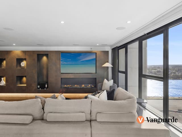
 Travis Reeve

$2,250,000 Price Guide
6309/117 Bathurst Street, Sydney NSW 2000
 Travis Reeve
$3,750,000-$3,950,000 Price Guide
1907/183 Kent Street, Sydney NSW 2000

 Justin Ruan

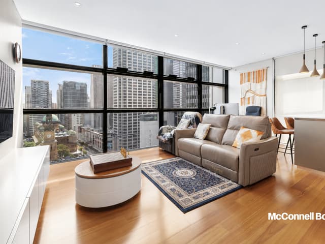
$1,280,000 - $1,360,000
314/158-166 Day Street, Sydney NSW 2000
 Penny Xinhui Peng
$1200 Per Week
2705/101 Bathurst Street, Sydney NSW 2000
Available Sun, 1 Nov

 Joe Zhang

DEPOSIT TAKEN - OPEN CANCEL
4319/101 Bathurst Street, Sydney NSW 2000
Available now

 Steve Xu
$1,900/week
4705/101 Bathurst Street, Sydney NSW 2000
Inspect tomorrow 11:30am
Available now
Properties in Sydney

119/365-377 Kent Street
Leased Oct 2026 · $1,250 per week
2 bedrooms 2 bathrooms 1 car space

2705/101 Bathurst Street
For rent since Oct 2026 · $1,200 per week
1 bedroom 1 bathroom 1 car space

6309/117 Bathurst Street
For sale since Oct 2026 · $2,250,000 Price Guide
2 bedrooms 2 bathrooms 1 car space 98 m² land

4319/101 Bathurst Street
For rent since Oct 2026 · DEPOSIT TAKEN - OPEN CANCEL
1 bedroom 1 bathroom

1401/157-167 Liverpool Street
Leased Oct 2026 · $2,250 per week
3 bedrooms 2 bathrooms 2 car spaces

4705/101 Bathurst Street
For rent since Oct 2026 · $1,900 per week
2 bedrooms 2 bathrooms 1 car space

63/336-346 Sussex Street
Leased Oct 2026 · $850 per week
2 bedrooms 1 bathroom

1304/130 Elizabeth Street
Leased Oct 2026 · Contact agent
1 bedroom 1 bathroom
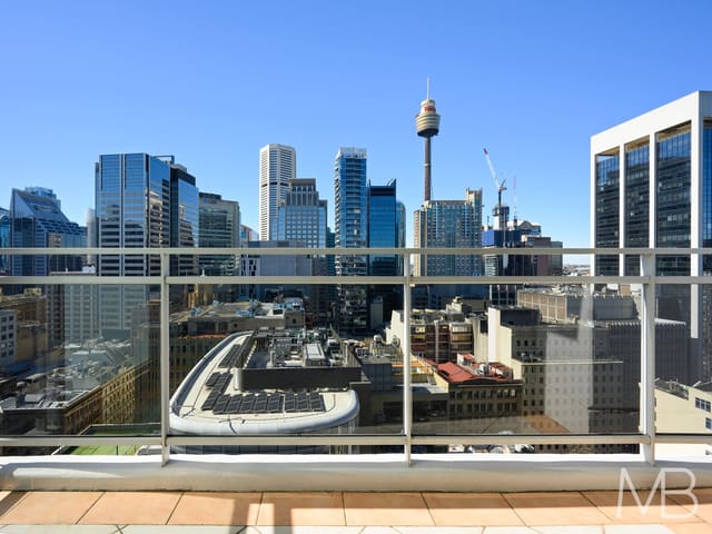
149/361-363 Kent Street
Sold Aug 2026 · $983,000
2 bedrooms 2 bathrooms 1 car space
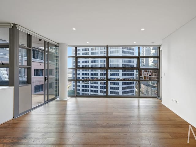
1001/267 Sussex Street
Sold July 2026 · $830,000
2 bedrooms 2 bathrooms

611/45 Shelley Street
Sold Mar 2026 · Contact agent
2 bedrooms 2 bathrooms 1 car space

1309/343-357 Pitt Street
Sold Jan 2026 · $1,360,000
2 bedrooms 2 bathrooms 2 car spaces
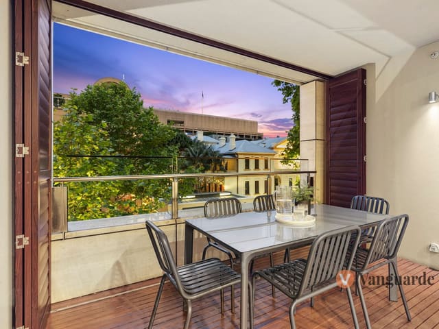
202/185 Macquarie Street
Sold Dec 2025 · Contact agent
2 bedrooms 2 bathrooms 1 car space 107 m² land

160/361-363 Kent Street
Sold Nov 2025 · Contact agent
2 bedrooms 2 bathrooms 1 car space 143 m² land

272/569-581 George Street
Sold Sept 2025 · $702,000
1 bedroom 1 bathroom

3509/91 Liverpool Street
Sold June 2025 · $1,560,000
2 bedrooms 2 bathrooms 1 car space 130 m² land
Schools in Sydney
Fort Street Public School
GovernmentPrimary
St Andrew's Cathedral Gawura School
IndependentPrimary
St Andrew's Cathedral School
IndependentPrimary and secondary
St Mary's Cathedral College
CatholicPrimary and secondary
Australian International High School
IndependentSecondary
Conservatorium High School
GovernmentSecondary
Macquarie Grammar School
IndependentSecondary
St Andrew's Cathedral School
IndependentPrimary and secondary
St Mary's Cathedral College
CatholicPrimary and secondary
Local agents in Sydney
Travis Reeve
Director Vanguarde
Last 12 months
- Properties sold
- 6
- Median sold price
- $1.65m
- Median days on market
- 28

Bill Kokkoris
Sales Consultant Harris Partners
Last 12 months
- Properties sold
- 4
- Median sold price
- $1.08m
- Median days on market
- 27

Cora Zhou
Sales Associate to Cathy Yuan Tian McConnell Bourn Sydney
Last 12 months
- Properties sold
- 6
- Median sold price
- $830k
- Median days on market
- 43
Agencies that specialise in Sydney
All 9 agencies in Sydney
Streets in Sydney
A
B
C
- Cabinet Maker Place3 properties
- Carrington Street209 properties
- Castlereagh Street2,287 properties
- Cathedral Street6 properties
- Central Street4 properties
- Chifley Square292 properties
- Circular Quay55 properties
- Circular Quay East11 properties
- Clarence Street2,210 properties
- College Street5 properties
- Commonwealth Street60 properties
- Conservatorium Road4 properties
- Council Place2 properties
- Curtin Place2 properties
- Cuthbert Street1 property
D
E
F
G
H
J
K
L
M
N
O
P
R
S
T
U
W
Y
Neighbouring suburbs
Addresses and streets incorporate or were developed using G-NAF © Geoscape Australia, licensed by the Commonwealth of Australia under the Open Geo-coded National Address File (G-NAF) End User Licence Agreement.
Population and housing figures are drawn from the Australian Bureau of Statistics, Census of Population and Housing 2021, licensed under Creative Commons Attribution 4.0 International.
School details © Australian Curriculum, Assessment and Reporting Authority (ACARA), from the Australian Schools List, licensed under Creative Commons Attribution 4.0 International and modified. ACARA does not endorse Listd.
Area summaries are generated from the national address file and ABS Census data, and checked against those figures before publication.