
Suburb profile
Herdsmans Cove TAS 7030
Herdsmans Cove is located in the Hobart region of Tasmania, postcode 7030. It has 673 properties across 27 streets, mostly houses. Explore every street in Herdsmans Cove, its property history, homes for sale and rent, who lives there, and the local agents.
About Herdsmans Cove
Herdsmans Cove, TAS 7030, sits in the Hobart region and neighbours Gagebrook and Old Beach. Its 27 streets hold 673 properties, 600 of them houses and 73 units.
Census figures are for the Bridgewater - Gagebrook area, which had 8,150 residents, a median age of 31 and an average household of 2.6 people. Median household income was $971 a week, the median mortgage repayment $1,083 a month and the median rent $250 a week. Of 2,896 dwellings, 2,629 were separate houses, 88 semi-detached and 175 flats; 517 were owned outright, 671 owned with a mortgage and 1,610 rented.
Updated October 2026
Who lives in Herdsmans Cove
- 8,150Peoplelive in the area
- 31Median ageyears
- $971Median household incomea week
- $250Median renta week
Homes by type
- Houses2,629
- Townhouses and semis88
- Flats and apartments175
Household
- Median mortgage repayment$1,083a month
- Household size2.6people on average
How homes are held
For sale and rent in Herdsmans Cove

 Patrick Berry

Offers Over $340,000
199 Lamprill Circle, Herdsmans Cove TAS 7030
 Patrick Berry
Offers Over $340,000
3 Spinosa Lane, Herdsmans Cove TAS 7030
Properties in Herdsmans Cove

111 Fisher Drive
Sold Aug 2026 · $440,000
2 bedrooms 1 bathroom 2 car spaces 257 m² land
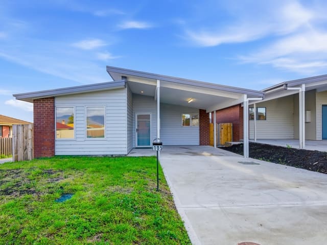
105 Fisher Drive
Sold Aug 2026 · $431,000
2 bedrooms 1 bathroom 2 car spaces 349 m² land
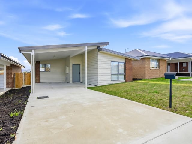
107 Fisher Drive
Sold Aug 2026 · $441,500
2 bedrooms 1 bathroom 2 car spaces 302 m² land
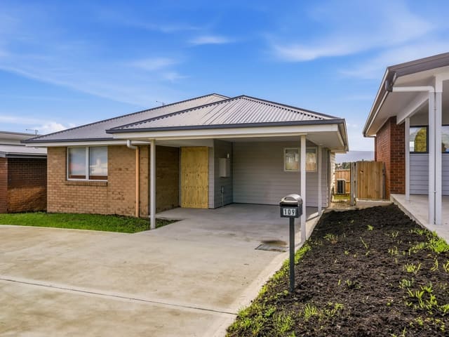
109 Fisher Drive
Sold July 2026 · $440,000
2 bedrooms 1 bathroom 2 car spaces 249 m² land

2 Burge Place
Sold Feb 2026 · $475,000
3 bedrooms 1 bathroom 3 car spaces 663 m² land

203 Lamprill Circle
Sold Dec 2025 · $380,000
2 bedrooms 1 bathroom 1 car space

197 Lamprill Circle
Sold Dec 2025 · $350,000
2 bedrooms 1 bathroom 1 car space

11 Gangell Place
Sold Oct 2025 · $149,000
653 m² land
111 Fisher Drive
Sold Aug 2026 · $440,000
2 bedrooms 1 bathroom 2 car spaces 257 m² land
105 Fisher Drive
Sold Aug 2026 · $431,000
2 bedrooms 1 bathroom 2 car spaces 349 m² land
107 Fisher Drive
Sold Aug 2026 · $441,500
2 bedrooms 1 bathroom 2 car spaces 302 m² land
109 Fisher Drive
Sold July 2026 · $440,000
2 bedrooms 1 bathroom 2 car spaces 249 m² land
2 Burge Place
Sold Feb 2026 · $475,000
3 bedrooms 1 bathroom 3 car spaces 663 m² land
203 Lamprill Circle
Sold Dec 2025 · $380,000
2 bedrooms 1 bathroom 1 car space
197 Lamprill Circle
Sold Dec 2025 · $350,000
2 bedrooms 1 bathroom 1 car space
11 Gangell Place
Sold Oct 2025 · $149,000
653 m² land
Schools in Herdsmans Cove
JRLF - Herdsmans Cove Primary School
GovernmentPrimary
No secondary schools in Herdsmans Cove.
Local agents in Herdsmans Cove
Patrick Berry
Manager 4one4 Property Co.
Last 12 months
- Properties sold
- 13
- Median sold price
- $440k
- Median days on market
- 28

Ladence Tandukar
Personal Assistant to Aaron Murray 4one4 Property Co.
Last 12 months
- Properties sold
- 147
- Median sold price
- $650k
- Median days on market
- 28

Aaron Murray
Sales Agent 4one4 Property Co.
Last 12 months
- Properties sold
- 153
- Median sold price
- $650k
- Median days on market
- 28
Agencies that specialise in Herdsmans Cove
Streets in Herdsmans Cove
- Aloomba Place10 properties
- Bantick Drive26 properties
- Barberi Drive25 properties
- Birubi Place16 properties
- Burge Place14 properties
- Calvert Crescent46 properties
- Cassinia Mew11 properties
- Cassinia Mews11 properties
- Clayton Drive6 properties
- Cooinda Place10 properties
- Crosby Place10 properties
- Dilkara Place8 properties
- Fisher Drive107 properties
- Gangell Place14 properties
- Harding Place9 properties
- Holloway Drive45 properties
- Kile Place17 properties
- Kumali Place6 properties
- Lamprill Circle157 properties
- Long Court10 properties
- Norris Place28 properties
- Ramsay Place12 properties
- Smith Place9 properties
- Spinosa Lane6 properties
- Whelan Drive27 properties
- Wilson Place9 properties
- Zena Road24 properties
Neighbouring suburbs
Addresses and streets incorporate or were developed using G-NAF © Geoscape Australia, licensed by the Commonwealth of Australia under the Open Geo-coded National Address File (G-NAF) End User Licence Agreement.
Population and housing figures are drawn from the Australian Bureau of Statistics, Census of Population and Housing 2021, licensed under Creative Commons Attribution 4.0 International.
School details © Australian Curriculum, Assessment and Reporting Authority (ACARA), from the Australian Schools List, licensed under Creative Commons Attribution 4.0 International and modified. ACARA does not endorse Listd.
Area summaries are generated from the national address file and ABS Census data, and checked against those figures before publication.