
Suburb profile
Claremont WA 6010
Claremont is located in the Inner Perth region of Western Australia, postcode 6010. It has 6,458 properties across 111 streets. Explore every street in Claremont, its property history, homes for sale and rent, who lives there, and the local agents.
About Claremont
Claremont, WA 6010, sits in Inner Perth and neighbours Karrakatta, Swanbourne, Cottesloe and Dalkeith. Its 111 streets hold 6,458 properties, 3,070 of them houses and 3,388 units.
At the 2021 Census Claremont had 9,248 residents, a median age of 44 and an average household of 2.2 people. Median household income was $2,068 a week, the median mortgage repayment $2,800 a month and the median rent $460 a week. Of 3,798 dwellings, 1,483 were separate houses, 991 semi-detached and 1,316 flats; 1,510 were owned outright, 886 owned with a mortgage and 1,240 rented.
Updated October 2026
Who lives in Claremont
- 9,248Peoplelive in the area
- 44Median ageyears
- $2,068Median household incomea week
- $460Median renta week
Homes by type
- Houses1,483
- Townhouses and semis991
- Flats and apartments1,316
Household
- Median mortgage repayment$2,800a month
- Household size2.2people on average
How homes are held
For sale and rent in Claremont

 Andy Thorpe

MID $2millions
23A Mofflin Avenue, Claremont WA
Inspect tomorrow 5:00pm

 Danielle Diffen

Home Open Cancelled - Under Offer
318/40 St Quentin Avenue, Claremont WA 6010

 Kim Bennett
Guide Early $1millions
47A Mengler Avenue, Claremont WA 6010
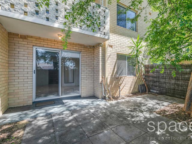
 Teresa Silva

$595 pw
9/11 Stirling Road, Claremont WA
Available Fri, 11 Dec

 Bhrianna Baxter

$715 pw
2/4 Freshwater Parade, Claremont WA
Available now

 Katherine Windebank
$1,150 PER WEEK
Unit 10/24 Davies Road, Claremont WA 6010
Inspect Wed, 28 Oct 3:45pm
Available now
Properties in Claremont

2 Goldsmith Road
Leased Nov 2026 · $1,995 per week
4 bedrooms 2 bathrooms 2 car spaces

9/11 Stirling Road
For rent since Oct 2026 · $595 per week
1 bedroom 1 bathroom 1 car space

1/30 Shenton Road
Leased Oct 2026 · $750 per week
2 bedrooms 1 bathroom 1 car space

23A Mofflin Avenue
For sale since Oct 2026 · MID $2millions
4 bedrooms 2 bathrooms 2 car spaces 389 m² land

2/4 Freshwater Parade
For rent since Oct 2026 · $715 per week
2 bedrooms 1 bathroom 1 car space

10/24 Davies Road
For rent since Oct 2026 · $1,150 per week
3 bedrooms 2 bathrooms 2 car spaces

14 Lapsley Road
Leased Oct 2026 · Contact agent
5 bedrooms 3 bathrooms 2 car spaces 215 m² land

10/11 Stirling Road
Leased Oct 2026 · $450 per week
1 bedroom 1 bathroom 1 car space
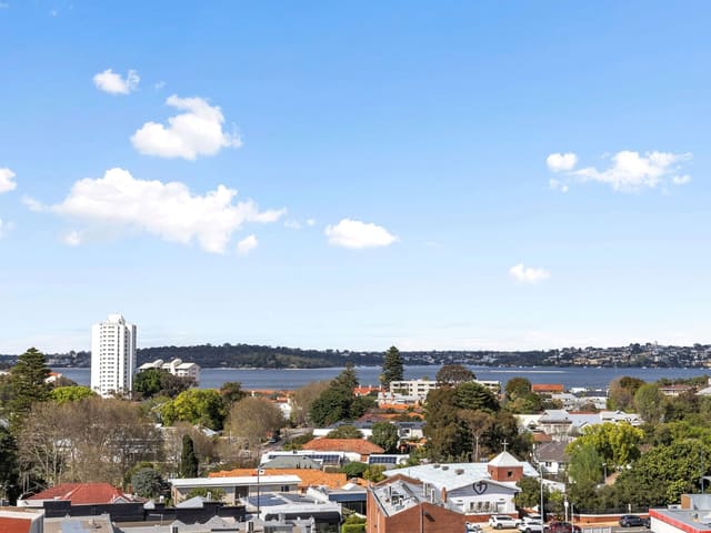
607/20 Gugeri Street
Sold Sept 2026 · $1,275,000
2 bedrooms 2 bathrooms 2 car spaces
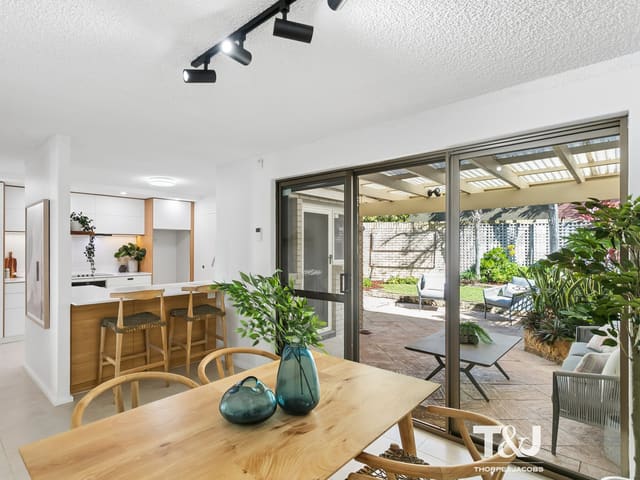
5/3 Corry Lynn Road
Sold Sept 2026 · $1,275,000
3 bedrooms 1 bathroom 1 car space
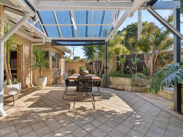
1/30 Barnfield Road
Sold Aug 2026 · $1,525,000
3 bedrooms 2 bathrooms 2 car spaces

119/1 Kyle Way
Sold Aug 2026 · Contact agent
2 bedrooms 1 bathroom 1 car space 111 m² land

5/375 Stirling Highway
Sold Aug 2026 · $674,000
2 bedrooms 1 bathroom 1 car space

37A Bay Road
Sold Aug 2026 · $2,800,000
3 bedrooms 2 bathrooms 2 car spaces 395 m² land

12/20 Dean Street
Sold July 2026 · $770,000
2 bedrooms 1 bathroom 1 car space

4D/25 Victoria Avenue
Sold July 2026 · $740,000
2 bedrooms 1 bathroom 1 car space 99 m² land
Schools in Claremont
Christ Church Grammar School
IndependentPrimary and secondary
Freshwater Bay Primary School
GovernmentPrimary
Methodist Ladies' College
IndependentPrimary and secondary
St Thomas' Primary School
CatholicPrimary
Christ Church Grammar School
IndependentPrimary and secondary
Methodist Ladies' College
IndependentPrimary and secondary
Local agents in Claremont

Brad Mantle
Residential Sales Consultant hohm Property Group
Last 12 months
- Properties sold
- 16
- Median sold price
- $788k
- Median days on market
- 7


Joanne Kingston
Sales Associate CY Property
Last 12 months
- Properties sold
- 6
- Median sold price
- $950k
- Median days on market
- 53
Andy Thorpe
Licensee / Director T&J Real Estate
Last 12 months
- Properties sold
- 15
- Median sold price
- $923k
- Median days on market
- 7
Agencies that specialise in Claremont
All 8 agencies in Claremont
Streets in Claremont
A
B
C
D
E
F
G
H
J
K
L
M
O
P
Q
R
S
- Scott Street6 properties
- Second Avenue181 properties
- Senate Street38 properties
- Shenton Place7 properties
- Shenton Road170 properties
- Smith Street26 properties
- St Quentin Avenue316 properties
- Stevens Street1 property
- Stirling Highway632 properties
- Stirling Road75 properties
- Stone Road4 properties
- Stubbs Terrace13 properties
T
V
W
Neighbouring suburbs
Addresses and streets incorporate or were developed using G-NAF © Geoscape Australia, licensed by the Commonwealth of Australia under the Open Geo-coded National Address File (G-NAF) End User Licence Agreement.
Population and housing figures are drawn from the Australian Bureau of Statistics, Census of Population and Housing 2021, licensed under Creative Commons Attribution 4.0 International.
School details © Australian Curriculum, Assessment and Reporting Authority (ACARA), from the Australian Schools List, licensed under Creative Commons Attribution 4.0 International and modified. ACARA does not endorse Listd.
Area summaries are generated from the national address file and ABS Census data, and checked against those figures before publication.